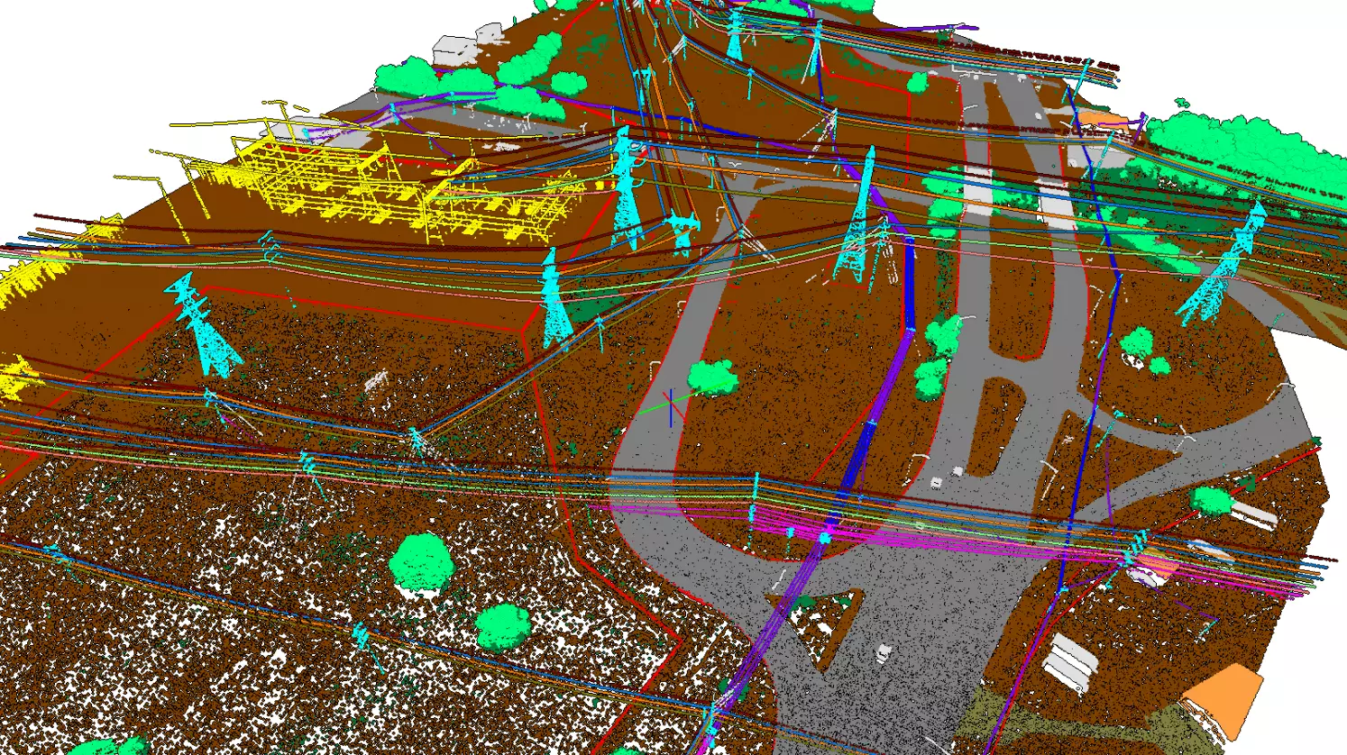
LiDAR Data
Processing
With the LiDAR sensors getting less expensive, more companies start to use them to get unique insights into geospatial aspect of the business.
Intetics can offer 100% customized solutions that are suited to the needs of each project in the most effective way thanks to our flexibility and cutting-edge geospatial solutions.

Challenges We Solve
- High costs of having a permanent processing team
- Noisy, heavy point clouds
- Bad accuracy levels during automatic feature extraction
- Data fusion from different sensors
- Lack of knowledge for highly-specialized classification projects
- No out-of-the-box solutions for utility and road managment

Who We Serve
We develop solutions for companies
involved in:
|
|

Solutions
To get the best results from client’s surveys, we provide wide range of LiDAR processing capabilities:
- Boresight Calibration/Strip Alignment
- Smoothing/Cleaning of the point cloud
- 2D and 3D Feature Extraction
- Classification
- Digital Elevation Models
- Contours

Benefits and Results
- Flexible Remote
In-Sourcing Team® modelProject implementation may be within 65%* of cost compared to in-house team
- Experience with combination of different data inputs
80% of the operational processes were developed and customized to the clients’ requirements by Intetics
- Knowledge of highly-specialized classifications
From basic classification to complex solutions with 50+ classes in one project
- Ready workflows for surveying and road management
100% scalable team
- In-house algorithms for faster feature extraction
Saving up to 60% of processing time
- High level of quality
Reducing your QA costs by 30%
- Full cycle of LiDAR data processing in one place
-

* average annual indicator among the implemented lidar projects of the company

